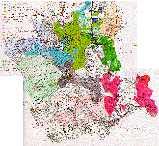
Below is a miniature view of the whole of 19th century Suckley on Marnie Caine's traced and coloured copy of the 1840 Tythe Map. The various colours show different landowners, indicating that much of the land (apart from Upper Court) was fragmented in strips. Some of this land could have been common fields, but by this date most would have been enclosed.
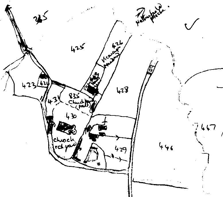
| Plot | Description | Type | Acres | Roods | Perches |
| 430 | The Church and Churchyard | Pasture | 1 | 2 | 8 |
| 835 | Part of Churchyard | Pasture | 0 | 2 | 7 |
| 426 | Vicarage Meadow | 1 | 0 | 7 | |
| 427 | Vicarage House and Garden | 0 | 1 | 33 |